GLAD Data Improving Predictive Models for Oil Spills


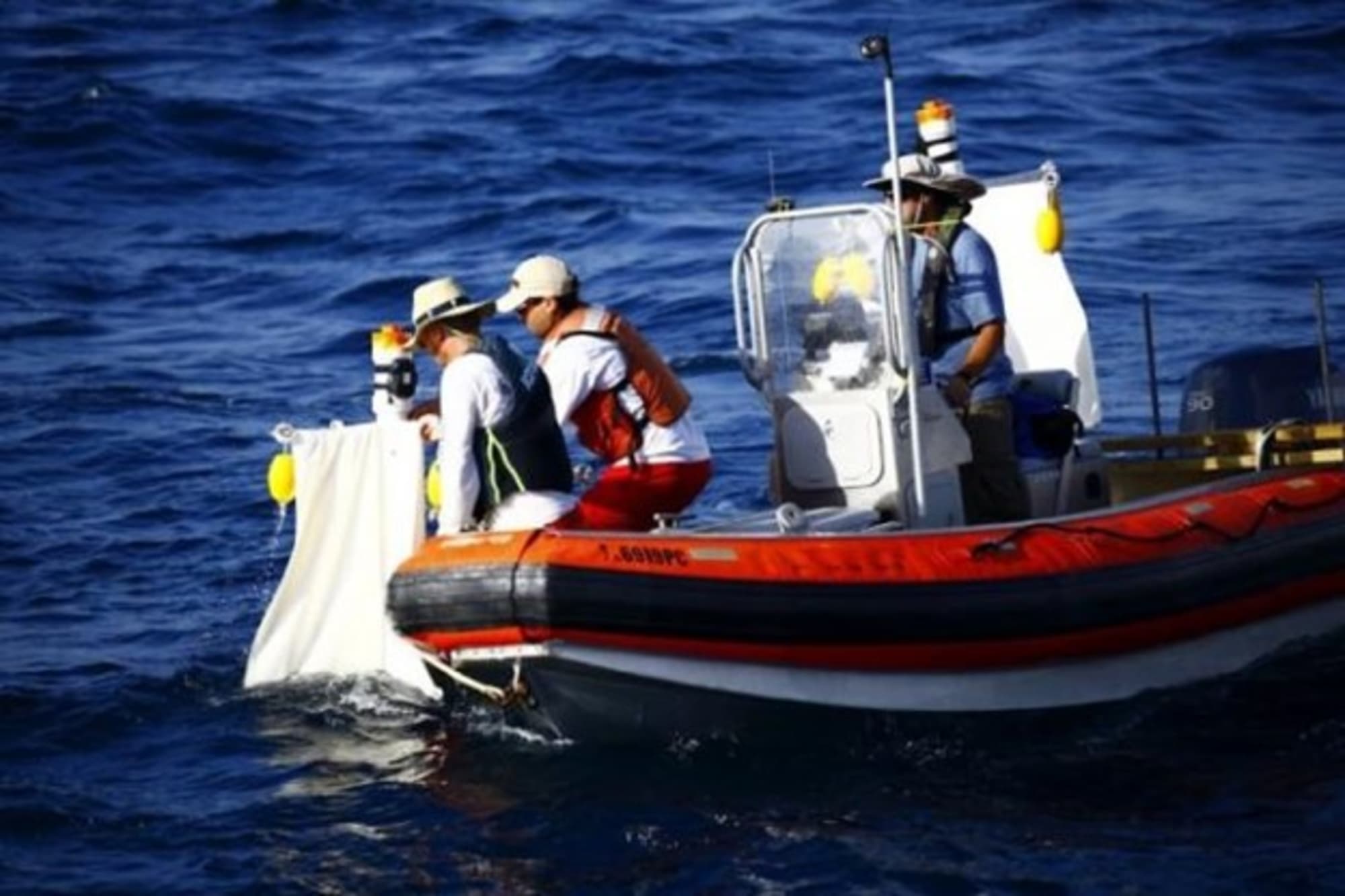
CARTHE scientists Dr. Ad Reniers and Dr. Guillaume Novelli launch a drifter while RV Walton Smith crew member Dave Nadeau holds position. Photo credit: CARTHE, 2013.
During summer 2012, the Grand Lagrangian Deployment (GLAD) at-sea experiment in the northern Gulf of Mexico released more than 300 near-surface drifters in the vicinity of the Deepwater Horizon oil spill using deployment patterns selected to understand the unique oceanic motion in the region. Conductivity, temperature and depth (CTD) data during this experiment has become one of the most downloaded on the GRIIDC website.
The GLAD experiment involved the largest simultaneous satellite track drifter release in oceanographic history. The observation of upper ocean transport processes is a critical step for the evaluation and improvement of predictive models in case of oil spills. The upper ocean conductivity and temperature profiles collected during this experiment provide the necessary hydrographic information for understanding the drifter deployment. Side benefits of the data include an improved understanding of the Gulf’s circulation patterns and measurement of the upper ocean heat content to assist scientists in hurricane forecasting. This dataset has been issued a DOI and is available on the GRIIDC website (http://dx.doi.org/doi:10.7266/N73X84KZ).
A science team from the Consortium for Advanced Research on Transport of Hydrocarbon in the Environment (CARTHE) successfully mounted the GLAD experiment, which was funded by the Gulf of Mexico Research Initiative (GoMRI) in the aftermath of the Deepwater Horizon incident. To conduct the GLAD experiment, CARTHE manned a modeling support group on shore and deployed a crew aboard the University of Miami’s R/V Walton Smith. Dr. Brian Haus, Director of the SUrge-STructure-Atmosphere INteraction (SUSTAIN) facility at the University of Miami’s Rosenstiel School, is GLAD’s Chief Scientist.
GRIIDC: Why do you think your GLAD experiment dataset is currently the most downloaded dataset on the GRIIDC website?
Haus: The CTD (conductivity, temperature, depth) casts collected during the experiment serve three main purposes. First, the hydrographic information is very useful for comparison with circulation model outputs and for assimilation into circulation models. Second, hurricane forecast studies on the mixed-layer depth in the Gulf of Mexico. Because the sampling occurred just before the 2012 hurricane season, this information was particularly useful for that purpose. Third, interpretation of the physical processes responsible for transporting the CARTHE: GLAD drifters. As this dataset becomes more widely distributed, the number of downloads of the CTD data should also increase.
GRIIDC: How do you think other researchers can use this dataset?
HAUS: There are a wide variety of potential uses. Any researcher collecting biological, physical or chemical data in the Gulf during summer 2012 could be interested in understanding the water mass properties in their region. Furthermore, the CARTHE/GLAD data could be useful for researchers in the Gulf conducting studies in the late summer.
GRIIDC: Your lab generates and collects data from a number of platform types and facilities. What techniques does your lab use to manage the variety and quantity of data you generate/collect?
HAUS: Managing the wide variety of data collected during the CARTHE field and laboratory efforts requires careful attention to data standards and protocols. The data collected (particularly during the SCOPE experiment) is of varying quantities and spatial and temporal sampling rates, so it requires generating appropriate metadata to properly define each dataset and redundant archiving. Metadata should conform to GRIIDC standards in order to facilitate rapid transition. Because of storage limitations, the latter may not be achievable until after a field experiment, but it needs to occur immediately upon return.
GRIIDC: What are some of the challenges you face in managing, organizing, and storing the data your lab collects and generates?
HAUS: CARTHE researchers collect data sets at very high data rates, which can be challenging for archiving and distribution. This is particularly true for image data; it is not uncommon to collect several terabytes of data per day Another challenging aspect is that, typically, significant post-processing is required for the data to be comprehensible to other researchers. Consequently, sharing of the data cannot proceed immediately upon acquisition.
GRIIDC: Do you have any other tips for researchers managing similar data?
HAUS: Although it can be difficult to rapidly transition data from collection to distribution to GRIIDC, the ease of making the transition does not improve with time so it is very useful to plan for this to occur as rapidly as possible.
GRIIDC: Are you just starting to share your data, or have you been sharing data for a long time?
HAUS: I and other CARTHE researchers have been sharing data for 20 years, but the requirements for this have been significantly increased in the last decade. The standardization of the formats and processes that occurred with the development of ocean observing systems (SEACOOS and GCOOS in particular) has greatly facilitated this shift.
GRIIDC: Do you have concerns about sharing data? Are you interested in seeing how other researchers use your dataset?
HAUS: My perspective, which I share with my colleagues in CARTHE, is that data sharing is a critical component of our scientific enterprise. It provides essential peer-review as outside users process the data in their own research. It can also greatly enhance the value of the collected data by having many different uses for it.
As long as graduate student interests are protected for their thesis research, it is very positive. The only other concern with data sharing is that all users properly interpret the data and understand its limitations. Because of the opportunity to provide insight to users of the data and to help them properly interpret it, it is important to know how data is being used.