Graduate Student Shares Marsh Shoreline Erosion Data

Giovanna McClenachan, a Doctoral candidate supervised by Dr. Eugene Turner at Louisiana State University, gained first-hand experience managing data through her research studying the effects of oil on shoreline erosion in Louisiana marshes. McClenanchan’s work is part of the Gulf of Mexico Research Initiative (GoMRI) funded Coastal Waters Consortium larger project investigating marsh processes and health.
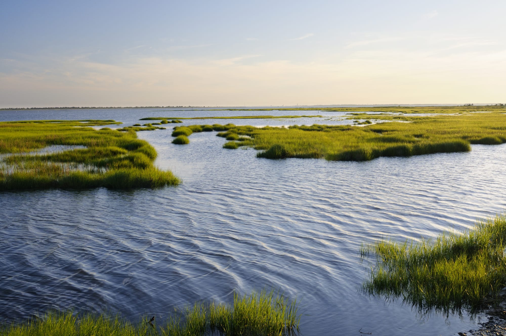
From 2010 to 2012 she collected and organized field data on soil strength, percent vegetation cover, and marsh edge overhang in Bay Batiste, LA. This dataset has generated one peer reviewed publication, Effects of oil on the rate and trajectory of Louisiana marsh shoreline erosion, published in Environmental Research Letters in 2013. Additionally, data collected from this project have been shared through the Gulf of Mexico Research Initiative Information & Data Cooperative (GRIIDC) and can be found online at: https://data.gulfresearchinitiative.org/data/R1.x139.143:0008/. Below she provides a graduate student’s perspective on data management and sharing.
GRIIDC: As a graduate student, what is the most challenging issue you face when organizing and managing your data? How do you overcome or address this issue?
McClenachan: One of the bigger challenges in managing the shoreline erosion data is making sure the data collected in the field are accurately translated into data that can be used for analysis. Many data collected in the field are not in a form that is usable to anyone. Calculations of erosion, soil strength, etc. must be done prior to looking for trends and running statistical analysis. It can be tricky ensuring all the numbers are accurately updated in one datasheet. Keeping these separate spreadsheets updated and accurate before compiling are key to avoiding any errors.
GRIIDC: Do you have any data management tips for other graduate students?
McClenachan: Find a system that works for you and stick with it. Constantly switching how you manage your data will lead to confusion when trying to explain how you calculated each column to someone who has not seen the dataset before. Keep notes! What seems intuitive now will not when you’re asked about it a year from now.
GRIIDC: How do you think other researchers, policy makers, or others could use the data you have made publicly available?
McClenachan: This dataset contains long-term data on erosion and other soil properties taken at small time intervals and is probably one of the more extensive datasets after the oil spill on marsh erosion. However, it is restricted to a small geographic area. I would hope that other researchers would be able to use my data to increase the knowledge of coastal erosion across the entire Louisiana coast. Many small datasets combined can become a very powerful tool